- Watershed: Nadina
- Difficulty: Difficult
- Trail Length: 4.2 km
- Round Trip: 4 hours min
- Distance from Houston: 60km+
- Cell Coverage: No
- Never venture out into the back country without proper gear and emergency provisions.
Amenities
Sorry no amenities for this adventure
Links and Downloads
Description:
Backcountry Route hikes are only for the most advanced and experienced hikers. The trails featured as “routes” are generally not marked in the bush and have no posted signs. These routes are merely suggestions of how to get up the mountain. Advanced navigational skills will be required. A combination of GPS data, spatially referenced digital maps, as well as a compass will be necessary for the best success. There are no amenities in the wilderness. Never venture out into the back country without proper gear and emergency provisions.
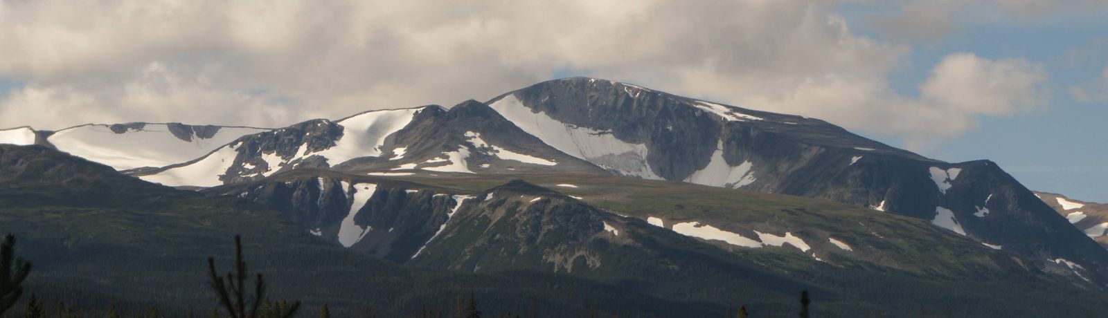
This route takes you to a minor peak on the north slopes of Sibola Mountain. From this point, you get amazing views of the Sibola Range. If you’re looking for a longer or multi-day trek, you can continue on up the mountain and explore the vast Sibola Plateau.
This is just a route up the mountain, no trail is cut out and there are no ribbons.
DIRECTIONS: (approx 110 km from Houston)
- Head South of town on the Morice River FSR
- At 27 km keep going straight onto the Morice-Owen FSR
- At 56.5 km turn right onto the Nadina Main FSR
- At 74 km keep left
- At 81 km keep right
- At 89 km keep right
- At 100.5 turn right onto the Sibola Main FSR
- Just after 9 km the road will be deactivated, park here.
