HMBA
Mount Harry Davis riding area is managed by the Houston Mountain Bike Association (HMBA) in partnership with RecSsites and Trails BC.
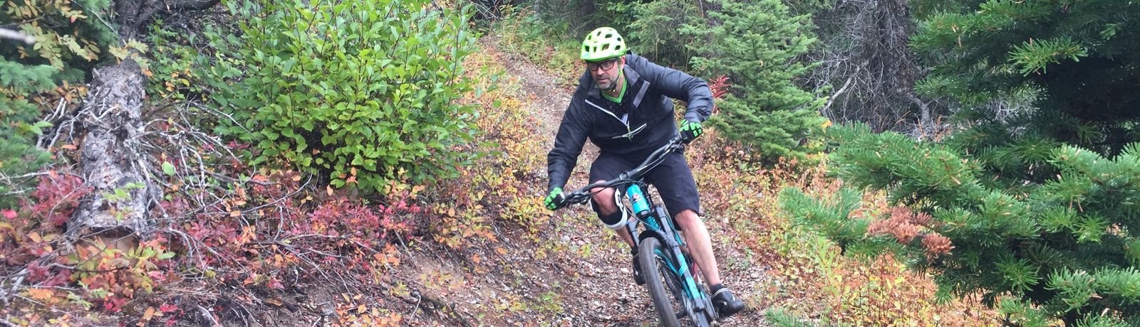
Mount Harry Davis currently has over 9km of Downhill trails, this included beginner Green trails to Black technical riding areas.
Connect with Trailforks to get updated riding information, donations and closures
Also Follow us on Facebook and Instragram (Houstonmountainbikeassocation)
or stop by Pawsome Adventure 2380 Poulton Ave, Houston for merchandise, memberships, trail and shuttle information.
Click here for trail descriptions and downloadable trail maps
Coming soon on the hill…
- Family Center discovery and learning center.
- A connecting Green trail between Sticks and Stones and Padawan for novice riders and up track users.
- More Black trails taking advantage of technical steep sections and rocky areas.
Directions to Mount Harry Davis
- From the Houston tourism centre head east on Highway 16
- After travelling 1.75 km turn left onto Williams Cres.
- Immediately turn left again onto the Highway frontage road.
- After 320m turn right onto Mt Davis Way
- After travelling 1.6 km you will reach the junction with the North Road (Michelle Bay FSR)
- Cross the North Rd and head up the mountain.
- After 650m you will see the first map sign
- After travelling 2.6 km you will reach the central kiosk and parking area.